In response to the escalating challenges posed by climate change, Secretary Manuel Bonoan has reaffirmed the Department of Public Works and Highways’ (DPWH) commitment to providing long-term solutions to the recurrent flooding issues faced by many Filipinos.
The DPWH has developed individual master plans for each of the 18 major river basins in the Philippines to address the increasing frequency and intensity of rainfall attributed to climate change. These master plans are tailored to address the specific characteristics and needs of each area, ensuring more efficient and targeted management of flood risks.
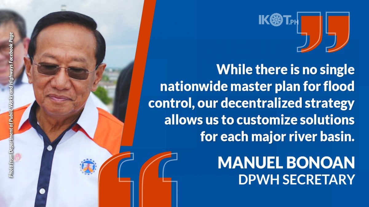
“While there is no single nationwide master plan for flood control, our decentralized strategy allows us to customize solutions for each major river basin, considering their unique geographical, hydrological, and environmental conditions,” Bonoan explained.
The necessity for customized solutions arises from the diverse nature of each river basin.
“Flood control measures effective in one basin may not be suitable for another due to differences in river flow, topography, rainfall patterns, and land use.”
“Flood control measures effective in one basin may not be suitable for another due to differences in river flow, topography, rainfall patterns, and land use,” the public works chief stressed.
Factors such as mountains, plains, coastal areas, ecosystems, soil types, vegetation cover, urbanization, agricultural activities, and infrastructure developments all play crucial roles in shaping these master plans.
“Regular updates allow us to incorporate the latest data, technologies, and best practices to ensure our strategies remain robust and responsive to new challenges.”
“To maintain the relevance and efficacy, the DPWH updates these master plan as needed to account for ongoing developments such as urbanization, climate change, and other environmental factors. Regular updates allow us to incorporate the latest data, technologies, and best practices to ensure our strategies remain robust and responsive to new challenges,” the public works head said.
He also highlighted the complexity of flood control planning compared to national road planning.
“Rivers cross multiple political boundaries, requiring coordinated efforts among various local and national entities. In contrast, national road planning can be segmented and managed within clear political boundaries, simplifying the process,” Bonoan explained.
Collaboration with local government units, other national agencies, and international partners is essential from the crafting of the master plan and feasibility study to the detailed engineering design and realization of specific flood management projects.
The DPWH’s flood control efforts are bolstered by partnerships with international organizations such as the Japan International Cooperation Agency (JICA), Asian Development Bank (ADB), World Bank (WB), and Export–Import Bank of Korea (KEXIM).
One notable example of the effectiveness of these master plans is the newly constructed floodwater reservoir projects in Imus City, Cavite, also known as the Imus River Basin Flood Control Project.
These temporary storage ponds significantly reduce the extent, level, and duration of flooding in surrounding low-lying areas, offering much-needed relief and protection to vulnerable communities.
The retarding basins, connected by sluiceways to hold floodwaters and reduce the peak volume of flood flow at Imus River and Bacoor River, have successfully managed or mitigated the challenges of the rainy season for Imus and Bacoor, areas highly susceptible to rain-induced flash flooding.
Other completed flood control facilities include the Flood Risk Management Projects for the Cagayan and Tagoloan Rivers, the Leyte Tide Embankment Project, the Integrated Disaster Risk and Reduction and Climate Change Adaptation (IDRR CCA) Measures in the Low-Lying Areas of Pampanga Bay – Stage 1, and several phases of the Pasig Marikina River Flood Control Project.
Subsequently, the DPWH will continue to implement other flood control projects aimed to provide immediate protection, especially to vulnerable low-lying populated areas.


