The Land Management Bureau (LMB) of the Department of Environment and Natural Resources (DENR) will pilot test an online data-sharing system with the municipality of Bay in Laguna province to fast track the process of land titling and address land titling conflicts.
Under the said project, the tax declaration records of the local government unit (LGU) of Bay and the scanned land records and geospatial information system (GIS) data of the DENR-CALABARZON will be linked online and updated in real-time creating a coordinated approach in the process of land titling.
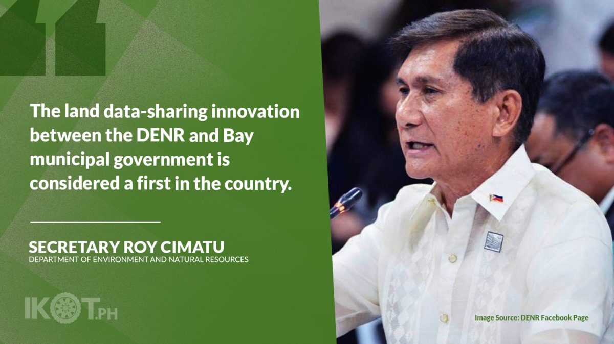
Secretary Roy Cimatu said the land data-sharing innovation between the DENR and Bay municipal government is considered a first in the country.
“With this new data-sharing development, land titling processes administered by the DENR and the Bay LGU will significantly improve.”
“With this new data-sharing development, land titling processes administered by the DENR and the Bay LGU will significantly improve, especially in the harmonization of geospatial information and the validation of property owners,” Cimatu said.
DENR-CALABARZON Regional Executive Director Nilo Tamoria and Bay Mayor Jose Padrid signed a memorandum of the partnership agreement for the implementation of the data linkage project on July 28.
DENR-LMB Director Emelyne Talabis said the agency is looking forward to more partnerships with other LGUs in the coming years.
The data link between DENR’s Digital Cadastral Database and Bay LGU’s tax declaration database will be facilitated through the Land Administration Management System (LAMS) of the DENR-LMB.
Through the online interface LAMS Gateway, the exchange of land information will be executed by a standard communication protocol where external parties like the LGU can establish a connection using the Real Property Tax System computer software.
“This new system will develop an enabling mechanism that will effectively and efficiently implement a geospatial information management system across the Philippine government bureaucracy.”
“This new system will develop an enabling mechanism that will effectively and efficiently implement a geospatial information management system across the Philippine government bureaucracy,” Talabis said.
At present, LGUs—through their Assessor’s Office—maintains a computer system procured from private software developers that manage and track the land records and spatial data used to issue tax declarations and for the Comprehensive Land Use Plan.
The procurement and management of the computer system entail investing money or acquiring loans from banks for low-income LGUs. In cases of mutations of parcels, spatial data is not updated and is rendered outdated and useless over time.
Due to outdated spatial data, possible duplicate or multiple tax declarations for a single lot are not detected, which can potentially lead to multiple titles being issued for the same lot.
With the integration, LGUs can freely access land records and reliable GIS data from the DENR regional offices, avoiding poor management and erroneous records.
GIS data from the DENR is built from the approved cadastral surveys and is kept updated in the approval of new survey plans.
The data linkage will improve the land titling processes of the DENR by using the information from the tax declaration information in screening and validating the rightful owner of land property. Applicants no longer need to submit hard copies of their tax declarations to the DENR.
Also, it will enforce the prevention of issuance of duplicate titles arising from multiple tax declarations, provision of relevant information on claims for untitled lots during adjudication, improve public service delivery, and eliminate commercialization of spatial data.


